Playa Chica in Fuerteventura: An Urban Oasis of Tranquility and Beauty
Discover Playa Chica in Puerto del Rosario, Fuerteventura: a small urban beach with golden sand, calm waters, and full amenities, perfect for families and travelers looking for a relaxing experience in Fuerteventura’s capital.
Introduction
Located in the heart of Puerto del Rosario, Fuerteventura’s capital, Playa Chica, also known as Playa de los Pozos, is a peaceful haven that blends natural beauty with urban convenience. With its golden sand and calm waters, it is the perfect spot for those looking for a relaxing coastal experience without straying far from the hustle and bustle of the city. Its proximity to the town center makes it a popular choice for both locals and tourists alike.
History and Cultural Context
Puerto del Rosario, formerly known as Puerto de Cabras, has been Fuerteventura’s commercial and administrative hub since its founding. Playa Chica has witnessed the city’s evolution, adapting to the needs of both residents and visitors over the years. In 2012, the breakwater that protects the beach was remodeled, improving safety and accessibility for everyone. The beach has always played a significant role in local life, offering a space for relaxation and recreation for islanders.
Exact Location and How to Get There
Playa Chica is located in the center of Puerto del Rosario, in the bay that gives the city its name. It is easily accessible by car, with nearby parking facilities, and by public transport, with bus lines 6 and 7 connecting it to other areas of the island. Its proximity to the port and main urban areas makes it one of the most convenient beaches on the island.
Detailed Description of the Place
The beach is 117 meters long and 26 meters wide, offering a cozy space for bathers. The sand is fine and golden, and the waters are calm, protected by a breakwater that shields them from the waves. The urban setting is complemented by a promenade that invites visitors to stroll and enjoy views of the sea. Nearby, visitors can find a variety of bars and restaurants where they can try local cuisine while enjoying the seaside ambiance.
Recommended Activities and Experiences
Relaxation and Sunbathing
The promenade features wooden platforms that serve as sunbathing areas, perfect for soaking up the sun or enjoying a book while listening to the sound of the waves.
Local Gastronomy
Along the beach, there are several restaurants and bars where you can taste typical Canarian dishes, such as fresh fish, papas arrugadas, and mojo, all while overlooking the sea and the sunset.
Cultural Events
Playa Chica is the venue for events such as the “Travesía a Nado” (Swim Crossing) from Playa Blanca and activities during Puerto del Rosario’s carnival, such as the arrival of the achipencos. These events offer a unique opportunity to immerse yourself in the local culture.
Practical Tips for Visitors
Best Time to Visit
The beach is enjoyable year-round, but the spring and autumn months offer milder temperatures and fewer tourists. In summer, the beach can be more crowded, but the facilities ensure a comfortable experience.
What to Bring
It is recommended to bring sunscreen, a hat, a towel, and comfortable footwear for strolling along the promenade. Don’t forget your sunglasses to fully enjoy the stunning sea views.
Safety
The beach has lifeguard services during the high season, but it is advisable to pay attention to the sea conditions. The breakwater that protects the beach helps keep the waters calm, making Playa Chica an ideal spot for swimming and relaxation.
Frequently Asked Questions (FAQ)
Is Playa Chica suitable for families with children? Yes, its calm waters and proximity to amenities make it perfect for families.
Are there facilities for people with reduced mobility? Yes, the beach is equipped with access ramps and services for people with reduced mobility.
Can you practice water sports at Playa Chica? Due to its sheltered waters, Playa Chica is more suited for swimming and relaxation rather than water sports. However, the surrounding areas of Puerto del Rosario offer options for windsurfing, kitesurfing, and other sports.
Visitor Reviews and Experiences
Visitors highlight the tranquility and cleanliness of Playa Chica, as well as the convenience of its services. For example, one reviewer said: “A calm and perfect beach to relax on. Few waves and less wind. Clean and free toilets. Showers available and lifeguard services. Plenty of bars and restaurants around.” (Tripadvisor)
Another tourist added: “A perfect beach to unwind, with everything you need nearby, and without the crowds of other more famous beaches on the island.”
Curiosities, Legends, or Lesser-Known Facts
In 2013, a sculpture of the skeleton of a tropical rorqual whale was installed on the beach. This whale had been found dead in Fuerteventura’s waters in 2006. The sculpture, made from the original bones, serves as a reminder of the island’s marine life. This monument is a unique landmark for visitors and a fascinating way to connect with the local nature.
Connection with Other Nearby Points of Interest
Playa Chica is close to several points of interest in Puerto del Rosario, such as the Casa Museo de Miguel de Unamuno, which offers a look at the island’s literary history. You can also explore the Museo de la Sal, located in the nearby village of Salinas del Carmen, to learn more about the island’s salt industry.
Call to Action
Don’t miss the opportunity to enjoy a unique experience at Playa Chica in Fuerteventura. Plan your visit today and discover everything this charming spot has to offer. Whether you’re looking for relaxation, local gastronomy, or a cultural experience, Playa Chica awaits to offer you the best of Fuerteventura.
Google map of playa del Pozo or playa Chica beach.
Majanicho Beach in Fuerteventura: A Hidden Paradise for Nature Lovers
Discover Majanicho Beach in Fuerteventura, an idyllic spot with crystal-clear waters and a peaceful atmosphere. Find everything you need to plan your visit here.
Introduction
In the far north of Fuerteventura, away from the tourist hustle and bustle, lies Majanicho Beach—a perfect refuge for those seeking tranquility, unspoiled nature, and authentic experiences. This beach, with its rustic charm and crystal-clear waters, is a must-visit destination for surf lovers, photographers, and anyone looking for pure relaxation. In this article, we’ll cover everything you need to know to make the most of your visit to Majanicho.
History and Cultural Context
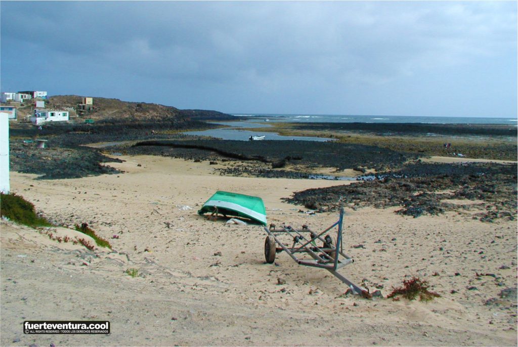
Majanicho is not just a beach; it is also a small fishing village with deep roots in Fuerteventura’s maritime traditions. In the past, it was a key location for local fishermen, and many of its small white houses are still used by Majorero families during the fishing season.
According to local tales, this area also has a mystical air, with stories about hidden treasures buried by pirates in the nearby Cave of Llano del Dinero. Although there is no concrete evidence, simply imagining it adds a special charm to the visit.
Location and How to Get There
Majanicho Beach is located in the municipality of La Oliva, in northern Fuerteventura. Getting there is simple:
From Corralejo: Drive 9 km west along the FV-109 road until you reach Majanicho.
From Lajares: Take the FV-109 road until the turn-off towards Majanicho.
From El Cotillo: There is a scenic dirt-road route, ideal for 4×4 vehicles or cyclists.
Some sections of the road are unpaved, so it’s advisable to drive with caution.
Description of the Place
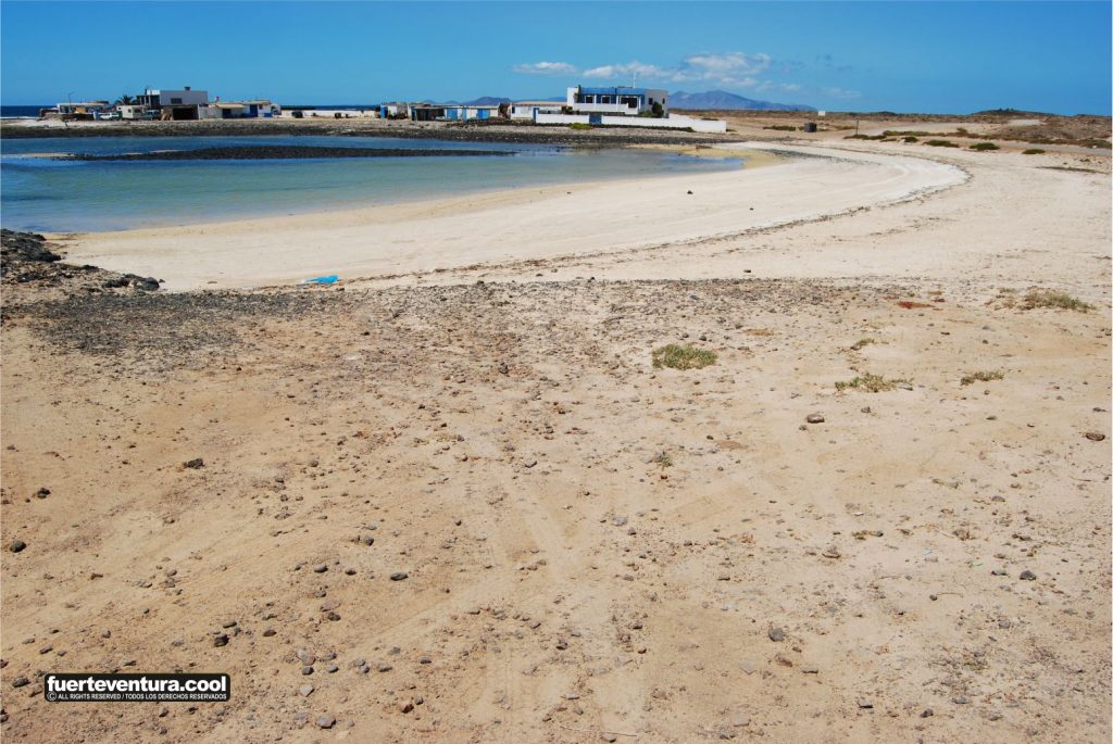
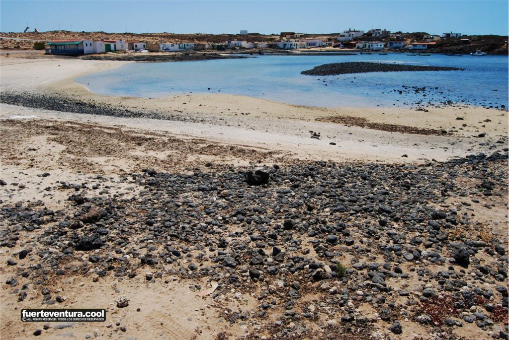
Majanicho Beach is a natural bay protected by rocky formations that soften the Atlantic waves, creating a perfect environment for swimmers. The coastline combines golden sand with volcanic rock areas, making it a paradise for those seeking unique and peaceful landscapes.
Unlike other beaches in Fuerteventura, Majanicho retains a rustic atmosphere, with no large tourist infrastructures, making it an ideal place to disconnect from the world.
Recommended Activities and Experiences
Surfing and Water Sports: The waves in the area attract surfers looking for a less crowded spot.
Snorkeling and Diving: Its crystal-clear waters and seabed make it a great place to explore marine life.
Hiking and Cycling: The route between Majanicho and El Cotillo is one of the most scenic on the island.
Birdwatching and Photography: The wildlife and natural beauty of the area make it ideal for landscape photography and birdwatching.
Practical Tips for Visitors
Best time to visit: October to March is ideal for surfers, but the beach can be enjoyed all year round.
What to bring: There are no shops or restaurants, so it is recommended to bring water, food, and sunscreen.
Safety: Although the bay is calm, it is important to be mindful of currents and not venture too far out when swimming.
Frequently Asked Questions (FAQ)
Are there restaurants in Majanicho? No, it is advisable to bring your own food or visit restaurants in Lajares or Corralejo.
Is it suitable for families with children? Yes, but supervision is recommended due to the rocky areas.
Can you camp in Majanicho? Camping on the beach is not allowed, but there are nearby camping options on the island.
Visitor Reviews and Experiences
Majanicho Beach has received enthusiastic reviews on TripAdvisor and Google Reviews, highlighting its tranquility and beauty. Here are some featured comments:
“A spectacular place to disconnect and enjoy nature in its purest form.”
“The calm waters and relaxed atmosphere make this beach a hidden gem.”
“Perfect for surfers looking for waves without crowds.”
“The village of Majanicho is charming, with a nostalgic air of authentic Fuerteventura.”
“If you’re looking for peace and quiet, this is your place.”
Curiosities and Lesser-Known Facts
Popcorn Beach: A short distance from Majanicho is this curious beach, famous for its white stones shaped like popcorn.
Legend of Pirate Treasures: It is said that in the nearby caves, pirates from centuries past hid treasures.
Ideal Destination for Astrophotography: The low light pollution makes it perfect for stargazing.
Connection with Other Nearby Attractions
El Cotillo: A charming coastal village with spectacular beaches and excellent restaurants.
Corralejo Natural Park: White sand dunes and turquoise waters just a short drive away.
Lajares: A bohemian village with a popular artisan market on Saturdays.
Plan Your Visit
If you are looking for an authentic spot to connect with nature, Majanicho Beach is your ideal destination. Don’t miss the chance to discover this hidden paradise in Fuerteventura.
Mapa Google de la playa de Majanicho en Fuerteventura.
Las Lajas Beach in Fuerteventura: Complete Visitor’s Guide
Discover Las Lajas Beach in Fuerteventura, a paradisiacal spot with crystal-clear waters and volcanic sand. Find everything you need to know to plan your visit.
Introduction
Las Lajas Beach, also known as Puerto Lajas Beach, is a coastal destination that combines tranquility, natural beauty, and an authentic atmosphere. Located on the island of Fuerteventura, this beach of dark sand and crystal-clear waters is perfect for those seeking a relaxing experience away from mass tourism.
History and Cultural Context
Originally, Puerto Lajas was a small fishing village that has preserved its essence over time. In the 1960s, the Spanish colony donated an image of Our Lady of the Pine, placed in the local chapel, which became a cultural landmark for locals and visitors alike.
Location and How to Get There
Las Lajas Beach is located 4.6 km north of Puerto del Rosario, on the FV-1 road towards Corralejo. To get there, follow the FV-1 and take the exit to Las Lajas. From there, a short 250-meter walk will lead you directly to the beach.
Description of the Place
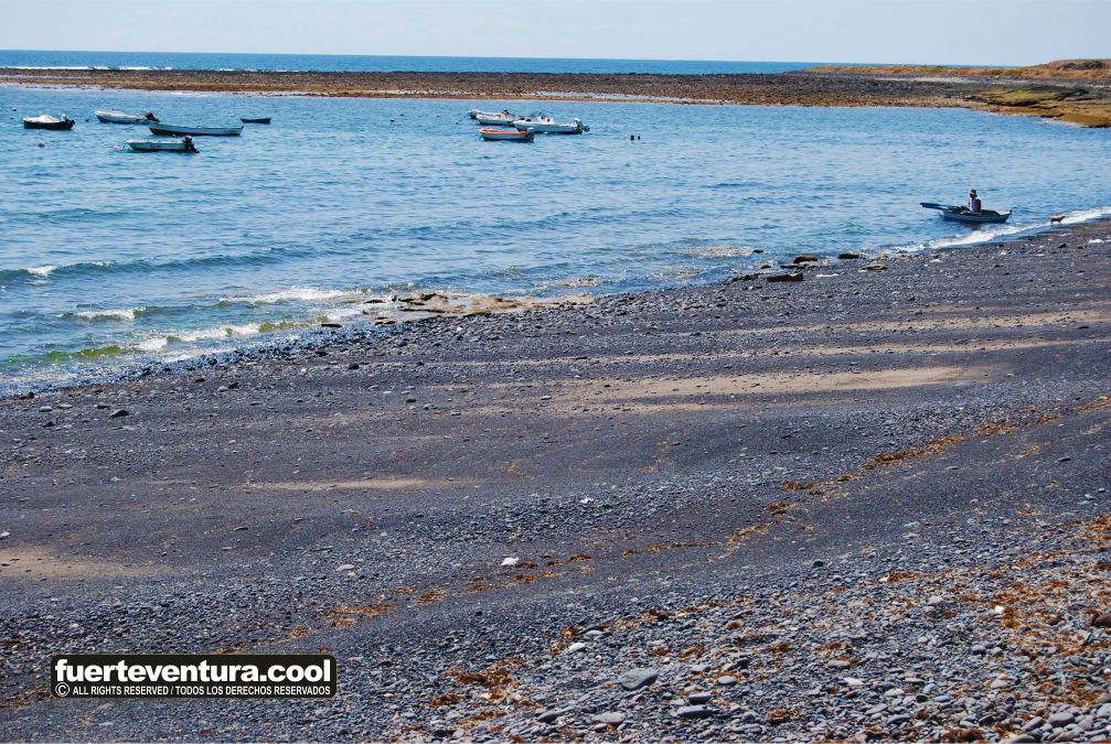
This beach stretches 700 meters in length and 15 meters in width, depending on the tide. Its black volcanic sand and pebbles make it unique in Fuerteventura. Its horseshoe shape protects against currents, making it easier to swim and snorkel in the northern area.
Recommended Activities and Experiences
Relaxation: Ideal for sunbathing and unwinding from the hustle and bustle.
Snorkeling: Its crystal-clear waters offer excellent visibility to explore marine life.
Surfing and Windsurfing: Its wind conditions make it perfect for these water sports.
Walking and Photography: Its volcanic landscape and panoramic views are a delight for photography enthusiasts.
Gastronomy: Restaurants with seaside terraces offer fresh seafood and local dishes.
Practical Tips for Visitors
Best time to visit: From April to October, when temperatures are warmer.
What to bring: Sunscreen, hat, sunglasses, and suitable footwear for walking on pebbles.
Safety: Although there are lifeguards, caution is advised with tides and currents.
Frequently Asked Questions (FAQ)
Is there equipment rental for water sports? Yes, there are options to rent surf and windsurf equipment nearby.
Are there restaurants nearby? Yes, there are several restaurants and bars with sea views where you can enjoy a relaxing meal.
Is it a family-friendly beach? Yes, but supervision is recommended for children due to the pebbles and sea conditions.
Visitor Reviews and Experiences
Las Lajas Beach is highly rated for its tranquility and beauty. Some highlighted comments include:
“A beautiful and peaceful beach, perfect for relaxing.”
“The water is crystal clear, and the spot is ideal for snorkeling.”
“I loved the authenticity of the beach and the quality of the nearby restaurants.”
“A paradise for windsurfing lovers.”
“Perfect place to disconnect and enjoy nature.”
“The sunset views are spectacular.”
“A hidden gem worth discovering.”
“The restaurants offer excellent service and delicious food.”
“Easy access and parking nearby, which is a plus.”
“A place full of history and authentic essence.”
Curiosities and Little-Known Facts
Nearby Windmill: To the south of the village, there is a traditional windmill that adds a picturesque touch.
Local Music Scene: Some bars in the area offer live music in the evenings.
Local Legend: It is said that dolphins and turtles were frequently spotted in these waters in the past.
Connection to Other Nearby Points of Interest
From Las Lajas Beach, you can explore:
Puerto del Rosario: The capital of Fuerteventura is just a 10-minute drive away, offering shops, restaurants, and art galleries.
Corralejo and Its Dunes: A 20-minute drive away, this area is famous for its spectacular natural park.
El Cotillo: A village with paradisiacal beaches and high-quality cuisine.
Call to Action
Don’t miss the opportunity to enjoy a unique experience at Las Lajas Beach in Fuerteventura! Plan your visit today and discover everything this beautiful spot has to offer.
Google map of the beach of Puerto Lajas in Fuerteventura.
Matas Blancas Beach in Fuerteventura: A Complete Guide to Enjoying This Natural Paradise
Discover Matas Blancas Beach in Fuerteventura: a peaceful paradise perfect for windsurfing and relaxation. Complete guide with tips and experiences.
Matas Blancas Beach in Fuerteventura: A Haven of Tranquility and Adventure
Introduction
Matas Blancas Beach is a hidden gem on the southeastern coast of Fuerteventura. With its tranquil atmosphere, crystal-clear waters, and ideal conditions for water sports, this destination is perfect for those looking to relax or enjoy windsurfing and kitesurfing. In this comprehensive guide, we provide everything you need to know to make the most of your visit.
History and Cultural Context
The name “Matas Blancas” refers to the dune formations that characterize the landscape. Although this beach does not have an extensive documented history, it has witnessed the influence of wind and sea for centuries, shaping its geography and attracting nature lovers and seekers of peace.
Location and How to Get There
Matas Blancas Beach is located in the municipality of Pájara, north of Costa Calma. To get there:
By Car: From the FV-2 road, before reaching Costa Calma, take the detour at the roundabout with the windmills and follow the dirt track to the beach.
Public Transport: There are no direct bus routes, so renting a car or taking a taxi is recommended.
Parking: There are parking areas nearby, although there are no facilities.
Description of the Place
Matas Blancas Beach stretches for 1.5 km in length and has an average width of 35 meters. Its landscape combines golden sand areas with pebbles, especially at its southern end, where it is more comfortable to lie down. The absence of buildings makes it an ideal retreat for unwinding.
Recommended Activities and Experiences
Windsurfing and Kitesurfing: The wind conditions make this beach a key spot for these sports. The Matas Bay school offers rentals and lessons for all levels.
Hiking and Photography: Explore the surroundings and capture stunning natural landscapes.
Relaxation and Meditation: Its tranquility makes it a perfect space for unwinding and well-being.
Practical Tips for Visitors
Best Time to Visit: Spring and autumn offer pleasant temperatures and optimal conditions.
What to Bring: Water, sunscreen, an umbrella, and supplies, as there are no services on the beach.
Safety: Although the waters are usually calm, it is always advisable to swim with caution.
Frequently Asked Questions (FAQ)
Are there services available on the beach? No, there are no restrooms, showers, or restaurants. It is recommended to bring everything you need.
Is it suitable for children? It may not be ideal for small children due to the lack of services and the presence of pebbles in some areas.
Is nudism allowed? There are no specific restrictions, but it is advisable to be respectful of other visitors.
Visitor Reviews and Experiences
Tourists highlight the serenity and beauty of Matas Blancas Beach. Here are some opinions:
“A perfect place to disconnect and enjoy nature in its purest state.”
“The windsurfing conditions are unbeatable; the constant winds make the experience fantastic.”
“It’s a beautiful beach, but make sure to bring everything you need since there are no nearby facilities.”
Despite its proximity to Costa Calma, Matas Blancas Beach remains an uncrowded destination.
It is one of the favorite beaches for professional windsurfers to train due to its constant winds.
Nearby Places of Interest
Costa Calma: White sandy beaches and crystal-clear waters just a few minutes away.
Jandía Natural Park: Hiking and breathtaking panoramic views.
Oasis Park Fuerteventura: A zoo and botanical park just 15 minutes away by car.
Plan Your Visit
Don’t miss the opportunity to discover Matas Blancas Beach in Fuerteventura. Whether to relax or enjoy the wind and waves, this paradisiacal spot awaits you.
Google map of the Castillo beach in Fuerteventura.
Sotavento Beach in Fuerteventura: A Natural Paradise to Discover
Meta description: Discover Sotavento Beach in Fuerteventura: an expansive stretch of golden sand, crystal-clear waters, and a paradise for water sports enthusiasts.
Introduction
Sotavento Beach, located in the southeastern part of Fuerteventura, is one of the most outstanding natural gems in the Canary Islands. With its nine kilometers of golden sand and turquoise waters, it offers an idyllic setting for those seeking beauty, tranquility, and outdoor activities. It is renowned not only for its spectacular landscape but also as a favored destination for water sports lovers.
History and Cultural Context
Fuerteventura, the island that hosts Sotavento Beach, is the oldest in the Canary Archipelago. Its history is marked by the presence of the indigenous Majos, who inhabited the island before the arrival of Europeans. Sotavento Beach, in particular, was formed by the accumulation of sand brought by the winds and ocean currents, creating a unique and well-preserved landscape. Over the years, it has become a meeting point for both tourists and locals, attracting those who wish to connect with nature in its purest form.
Exact Location and How to Get There
Sotavento Beach is located on the Jandía Peninsula, in the southern part of Fuerteventura. To get there from the northern part of the island, you can take the FV-2 road heading south until you reach the town of Costa Calma. From there, the beach can be accessed via unpaved roads, so it is recommended to use a 4×4 vehicle. The route is straightforward and well signposted, making the beach easily accessible to visitors.
Detailed Description of the Place
Sotavento Beach stretches for nine kilometers and is divided into five areas: La Barca, Risco del Paso, Mirador, Malnombre, and Los Canarios. Each offers unique characteristics, from vast expanses of white sand to shallow waters ideal for families. The constant presence of wind makes Sotavento an ideal spot for water sports such as windsurfing, kitesurfing, and surfing. The lagoon that forms during low tide is perfect for beginners in these sports, as the water is shallow and the currents are gentle.
Recommended Activities and Experiences
Water Sports
Sotavento Beach is internationally recognized for its ideal conditions for windsurfing and kitesurfing. Throughout the year, high-level competitions are held, including the Kitesurf World Championship. Additionally, the lagoon formed at low tide is perfect for beginners. Here, tourists can enjoy windsurfing or kitesurfing lessons while experiencing the thrill of the waves and wind.
Beach Walks
With its expansive stretch of sand, Sotavento invites long walks while enjoying volcanic landscapes and panoramic views. The contrast between the dunes and the ocean creates a unique environment. Without a doubt, walking along this beach is an experience that connects visitors with the natural beauty of Fuerteventura.
Nature Observation
The area is home to a rich biodiversity, making it ideal for birdwatching and landscape photography. The tranquility of the beach, coupled with its pristine surroundings, offers the perfect refuge for nature lovers.
Practical Tips for Visitors
Best Time to Visit
Spring and autumn are the best times to enjoy Sotavento Beach. During these months, temperatures are pleasant, and while the wind is constant, it is not as strong as in the summer. This makes for perfect weather to enjoy outdoor activities without the crowds typical of the high season.
What to Bring
It is recommended to bring sunscreen, a hat, water, and suitable footwear for walking on sand and rocks. Although some services are available in the surrounding areas, it is best to bring food and drinks as there are few establishments directly on the beach.
Safety
While the waters are generally calm, it is always important to exercise caution with the currents and wind. Before engaging in any water activities, it is advisable to check the day’s weather conditions.
Frequently Asked Questions (FAQ)
Is the beach suitable for families with children?
Yes, especially in the areas where shallow lagoons form during low tide. It is a perfect place to enjoy with the family, with calm waters and safety.
Are there services on the beach?
Services on the beach are limited, so it is advisable to bring provisions and be prepared to spend several hours in nature without access to shops or restaurants.
Is nudism allowed on the beach?
Yes, Sotavento Beach is known for being a nudist-friendly area, particularly in its more secluded zones.
Visitor Opinions and Experiences
Visitors highlight the natural beauty of the beach and the tranquility it offers. Many praise the conditions for water sports and the opportunity to enjoy an untouched environment. However, some mention the lack of services on the beach and the need to bring provisions.
“One of the best beaches I’ve ever visited, ideal for kitesurfing. Don’t miss it!” – Maria L., TripAdvisor “A virgin paradise with stunning views. Perfect for disconnecting and enjoying nature.” – Juan P., TripAdvisor “If you love windsurfing, this is the place for you. The conditions are perfect all year round.” – David R., Google Reviews
Curiosities, Legends, or Little-Known Facts
Sotavento Beach is known for its “two shores” phenomenon, where a sand barrier separates the waters into two shorelines, creating a natural lagoon. This phenomenon is largely due to the volcanic origin of the archipelago and the actions of the wind and tides. It’s a unique visual spectacle that attracts photographers and tourists alike.
Connection with Other Nearby Points of Interest
Salmo Viewpoint
Located near the beach, it offers panoramic views of Sotavento and is a popular spot for photography. From the viewpoint, visitors can enjoy a unique perspective of the beach landscape and the Jandía Peninsula.
Risco del Paso Beach
Situated to the south of Sotavento, it is known for its calm waters and is ideal for families. It is also an excellent starting point for water sports such as windsurfing and kitesurfing.
Mal Nombre Beach
Known for its relaxed atmosphere and crystal-clear waters, Mal Nombre Beach is another nearby destination worth exploring. It offers a more peaceful experience, ideal for those looking to completely disconnect.
Google map of the Sotavento beach in Fuerteventura.
Sotavento Beach in Fuerteventura: A Natural Paradise to Discover
Meta description: Discover Sotavento Beach in Fuerteventura: an expansive stretch of golden sand, crystal-clear waters, and a paradise for water sports enthusiasts.
Introduction
Sotavento Beach, located in the southeastern part of Fuerteventura, is one of the most outstanding natural gems in the Canary Islands. With its nine kilometers of golden sand and turquoise waters, it offers an idyllic setting for those seeking beauty, tranquility, and outdoor activities. It is renowned not only for its spectacular landscape but also as a favored destination for water sports lovers.
History and Cultural Context
Fuerteventura, the island that hosts Sotavento Beach, is the oldest in the Canary Archipelago. Its history is marked by the presence of the indigenous Majos, who inhabited the island before the arrival of Europeans. Sotavento Beach, in particular, was formed by the accumulation of sand brought by the winds and ocean currents, creating a unique and well-preserved landscape. Over the years, it has become a meeting point for both tourists and locals, attracting those who wish to connect with nature in its purest form.
Exact Location and How to Get There
Sotavento Beach is located on the Jandía Peninsula, in the southern part of Fuerteventura. To get there from the northern part of the island, you can take the FV-2 road heading south until you reach the town of Costa Calma. From there, the beach can be accessed via unpaved roads, so it is recommended to use a 4×4 vehicle. The route is straightforward and well signposted, making the beach easily accessible to visitors.
Detailed Description of the Place
Sotavento Beach stretches for nine kilometers and is divided into five areas: La Barca, Risco del Paso, Mirador, Malnombre, and Los Canarios. Each offers unique characteristics, from vast expanses of white sand to shallow waters ideal for families. The constant presence of wind makes Sotavento an ideal spot for water sports such as windsurfing, kitesurfing, and surfing. The lagoon that forms during low tide is perfect for beginners in these sports, as the water is shallow and the currents are gentle.
Recommended Activities and Experiences
Water Sports
Sotavento Beach is internationally recognized for its ideal conditions for windsurfing and kitesurfing. Throughout the year, high-level competitions are held, including the Kitesurf World Championship. Additionally, the lagoon formed at low tide is perfect for beginners. Here, tourists can enjoy windsurfing or kitesurfing lessons while experiencing the thrill of the waves and wind.
Beach Walks
With its expansive stretch of sand, Sotavento invites long walks while enjoying volcanic landscapes and panoramic views. The contrast between the dunes and the ocean creates a unique environment. Without a doubt, walking along this beach is an experience that connects visitors with the natural beauty of Fuerteventura.
Nature Observation
The area is home to a rich biodiversity, making it ideal for birdwatching and landscape photography. The tranquility of the beach, coupled with its pristine surroundings, offers the perfect refuge for nature lovers.
Practical Tips for Visitors
Best Time to Visit
Spring and autumn are the best times to enjoy Sotavento Beach. During these months, temperatures are pleasant, and while the wind is constant, it is not as strong as in the summer. This makes for perfect weather to enjoy outdoor activities without the crowds typical of the high season.
What to Bring
It is recommended to bring sunscreen, a hat, water, and suitable footwear for walking on sand and rocks. Although some services are available in the surrounding areas, it is best to bring food and drinks as there are few establishments directly on the beach.
Safety
While the waters are generally calm, it is always important to exercise caution with the currents and wind. Before engaging in any water activities, it is advisable to check the day’s weather conditions.
Frequently Asked Questions (FAQ)
Is the beach suitable for families with children?
Yes, especially in the areas where shallow lagoons form during low tide. It is a perfect place to enjoy with the family, with calm waters and safety.
Are there services on the beach?
Services on the beach are limited, so it is advisable to bring provisions and be prepared to spend several hours in nature without access to shops or restaurants.
Is nudism allowed on the beach?
Yes, Sotavento Beach is known for being a nudist-friendly area, particularly in its more secluded zones.
Visitor Opinions and Experiences
Visitors highlight the natural beauty of the beach and the tranquility it offers. Many praise the conditions for water sports and the opportunity to enjoy an untouched environment. However, some mention the lack of services on the beach and the need to bring provisions.
“One of the best beaches I’ve ever visited, ideal for kitesurfing. Don’t miss it!” – Maria L., TripAdvisor
“A virgin paradise with stunning views. Perfect for disconnecting and enjoying nature.” – Juan P., TripAdvisor
“If you love windsurfing, this is the place for you. The conditions are perfect all year round.” – David R., Google Reviews
Curiosities, Legends, or Little-Known Facts
Sotavento Beach is known for its “two shores” phenomenon, where a sand barrier separates the waters into two shorelines, creating a natural lagoon. This phenomenon is largely due to the volcanic origin of the archipelago and the actions of the wind and tides. It’s a unique visual spectacle that attracts photographers and tourists alike.
Connection with Other Nearby Points of Interest
Salmo Viewpoint
Located near the beach, it offers panoramic views of Sotavento and is a popular spot for photography. From the viewpoint, visitors can enjoy a unique perspective of the beach landscape and the Jandía Peninsula.
Risco del Paso Beach
Situated to the south of Sotavento, it is known for its calm waters and is ideal for families. It is also an excellent starting point for water sports such as windsurfing and kitesurfing.
Mal Nombre Beach
Known for its relaxed atmosphere and crystal-clear waters, Mal Nombre Beach is another nearby destination worth exploring. It offers a more peaceful experience, ideal for those looking to completely disconnect.
Google map of the Sotavento beach in Fuerteventura.
Sources and References
TripAdvisor – Sotavento Beach
Fuerteventura.es
VisitFuerteventura.com
Sapos y Princesas
In Viaggio Alle Canarie
Pozo Negro Beach in Fuerteventura: A Complete Visitor’s Guide
Discover Pozo Negro Beach in Fuerteventura, a place of volcanic beauty and tranquility. Learn about its history, how to get there, what to do, and useful tips to make the most of your visit.
Introduction to Pozo Negro Beach
Located on the east coast of Fuerteventura, Pozo Negro Beach is a unique destination that combines volcanic landscapes, a peaceful fishing village, and a fascinating history. Unlike other more touristy beaches on the island, here you will find a serene and authentic atmosphere, ideal for those looking to escape the crowds and connect with the essence of Fuerteventura.
History and Cultural Context
Pozo Negro has been a key point in the island’s history. Its natural bay was used as a landing site by the Norman conquerors in the 15th century. Additionally, nearby lies the La Atalayita archaeological site, an ancient settlement of the Mahos (the aboriginal people of Fuerteventura), offering a glimpse into the island’s past.
Location and How to Get There
Pozo Negro Beach is located between Las Salinas del Carmen and Gran Tarajal, within the municipality of Antigua. To get there:
By car: From Puerto del Rosario, take the FV-2 southbound and turn onto the FV-420, which will lead you directly to Pozo Negro in about 5 km.
By public transport: There are no direct bus services, so renting a car is recommended.
GPS Coordinates: 28.3546° N, 14.0168° W
Beach Description and Natural Environment
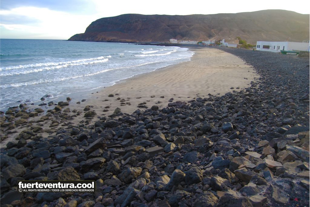
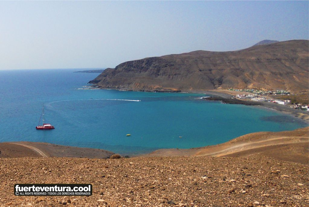
Pozo Negro Beach is approximately 310 meters long and 12 meters wide, with dark sand and volcanic pebbles. Its waters are calm and crystal-clear, perfect for a relaxing swim. The surrounding landscape is arid and marked by lava flows, creating a stunning contrast between the deep blue of the Atlantic and the dark volcanic terrain.
The village of Pozo Negro, with its whitewashed houses and small fishing boats, adds a picturesque and authentic touch to the experience.
Recommended Activities and Experiences
Local Cuisine: Enjoy fresh fish and seafood at the village’s restaurants.
Hiking: Explore the volcanic surroundings and visit the La Atalayita archaeological site.
Astrotourism: Thanks to low light pollution, it is an excellent spot for stargazing.
Snorkeling: While the beach isn’t a typical golden sand beach, its clear waters offer excellent underwater visibility.
Practical Tips for Visitors
Best time to visit: Spring and autumn offer pleasant temperatures and fewer tourists.
What to bring: Sunscreen, comfortable footwear (due to the pebbles), and a light jacket for the evening.
Safety: While the waters are generally calm, always check sea conditions before swimming.
Frequently Asked Questions (FAQ)
Can you swim at Pozo Negro Beach?
Yes, although the presence of pebbles makes water shoes advisable.
Are there facilities like sunbeds or umbrellas?
No, it is a virgin beach with no tourist facilities.
Is nudism allowed?
Yes, although it is not an official nudist beach, it is common to see visitors practicing it.
Visitor Reviews and Experiences
According to reviews on platforms like TripAdvisor and Google Reviews, here are some highlighted comments:
“A hidden gem of Fuerteventura where tranquility is absolute.”
“I loved the combination of volcanic sand, sea, and clear blue skies.”
“A perfect place to disconnect and enjoy the true essence of the island.”
Origin of the Name: It is called Pozo Negro (Black Well) due to a natural well located in a black lava flow near the sea.
Geological Formation: The bay was formed thousands of years ago by volcanic eruptions from the Liria and La Laguna craters.
Connections to Nearby Attractions
Las Salinas del Carmen: A museum about traditional salt production.
Gran Tarajal: A coastal town with a lively local scene.
La Atalayita: An aboriginal archaeological site.
Conclusion and Call to Action
Don’t miss the opportunity to discover Pozo Negro Beach, a unique spot in Fuerteventura where nature, history, and tranquility come together. Plan your visit and enjoy an unforgettable experience.
Google map of the Pozo Negro beach in Fuerteventura.
La Solapa Beach in Fuerteventura: A Complete Guide to Discover This Hidden Gem
Discover La Solapa Beach in Fuerteventura, a wild and uncrowded beach with dark sand and a stunning natural environment. Learn how to get there, what to do, and the best tips to enjoy it.
Introduction
Fuerteventura is renowned for its spectacular beaches and volcanic landscapes, and among its lesser-explored treasures is La Solapa Beach. Located on the island’s west coast, this beach stands out for its golden and black sand, powerful waves, and peaceful atmosphere, making it ideal for those seeking a retreat away from the tourist crowds. In this complete guide, you will find everything you need to visit and enjoy this paradise.
History and Cultural Context
Although there is no extensive documented history about La Solapa Beach, its name already suggests its essence: “Solapa” means “hidden” or “concealed,” reflecting the sense of seclusion and tranquility experienced here. Over the years, the beach has served as a natural refuge for visitors looking to disconnect and immerse themselves in the beauty of the surroundings.
Exact Location and How to Get There
La Solapa Beach is located in the municipality of Pájara, on the west coast of Fuerteventura. To get there from the town of Pájara:
Take the FV-605 road towards La Pared and Costa Calma.
After 1.5 km, you will pass a turn-off towards Ajuy; keep going straight.
About 4 km from Pájara, you will see a wooden sign that reads “La Solapa – Garcey.”
Turn right and follow the dirt road for about 4 km until you reach the parking area near the beach.
The dirt road is accessible, but it is recommended to drive with caution.
Detailed Description of the Place
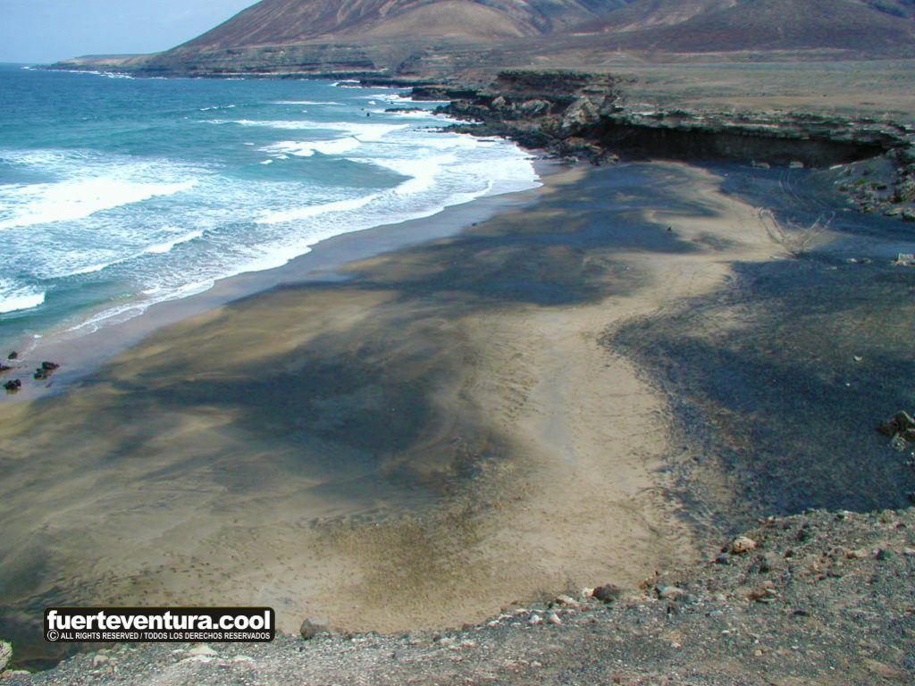
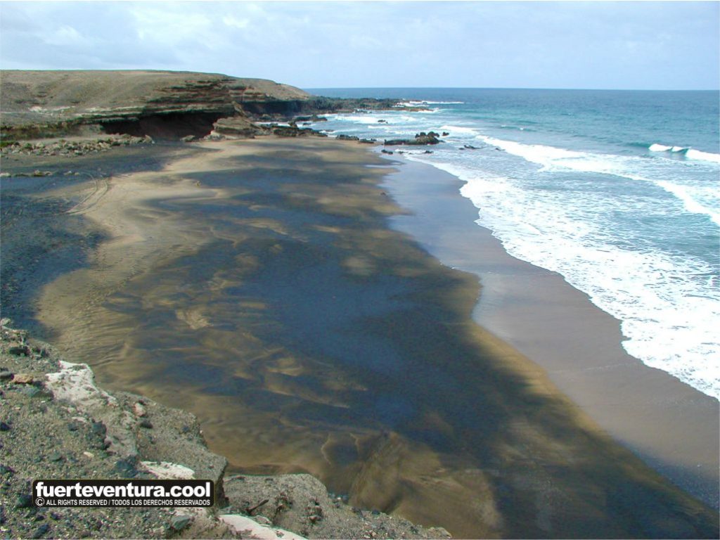
La Solapa Beach is approximately 400 meters long and has an average width of 30 meters. Its sand combines golden and black tones, with small pebbles that glisten in the sunlight. The strong waves and rock formations create a spectacular landscape. During low tide, crystal-clear coves are revealed, perfect for exploration and photography.
Recommended Activities and Experiences
Hiking: Explore nearby trails with breathtaking views of the Atlantic Ocean.
Photography: The combination of dark sand and rock formations creates unique settings.
Nature Observation: Possibility of spotting birds and marine life.
Relaxation and Disconnection: Ideal for enjoying the sound of the sea without crowds.
Practical Tips for Visitors
Best Time to Visit: Spring and autumn offer pleasant temperatures.
What to Bring: Sunscreen, water, appropriate footwear, and a camera.
Safety: Avoid swimming if the waves are strong and always be mindful of sea conditions.
Facilities: There are no bars or restaurants, so bring everything you need for your visit.
Frequently Asked Questions (FAQ)
Is La Solapa Beach safe for swimming?
Due to strong currents, caution is advised when swimming.
Are there facilities on the beach?
There are no services, so it is recommended to bring your own supplies.
Is it suitable for families with children?
It is not the best option for small children due to the strong waves.
Is nudism allowed?
Yes, the beach is frequented by those who practice nudism.
Visitor Reviews and Experiences
La Solapa Beach has received excellent reviews from visitors. Some highlighted comments:
“A beautiful beach with black and golden sand, featuring impressive rock formations.” (TripAdvisor)
“Incredibly peaceful, perfect for relaxing away from the crowds.” (Minube)
Curiosities and Little-Known Facts
Film Location: Part of the Marvel movie Eternals was filmed here.
Geological Formations: Rocks detached from the mountain create unique coves visible at low tide.
Connection with Other Nearby Attractions
Garcey Beach: Famous for the wreck of the American Star.
Ajuy: Known for its sea caves and geological history.
Don’t miss the opportunity to discover La Solapa Beach! Plan your visit and immerse yourself in one of Fuerteventura’s most spectacular landscapes.
Google map of the Castillo beach in Fuerteventura.
Garcey and Vigocho Beach in Fuerteventura: A Hidden Paradise on the West Coast
Discover the wild beauty of Garcey and Vigocho Beach in Fuerteventura. History, tips, activities, and how to get to this hidden paradise.
Introduction
Located on the west coast of Fuerteventura, Garcey and Vigocho beaches are two hidden gems offering breathtaking landscapes and unparalleled tranquility. Known for their unspoiled surroundings and remote atmosphere, they are the perfect destination for those looking to disconnect from the tourist crowds and connect with nature.
History and Cultural Context
Garcey Beach is famous for the wreck of the SS American Star in 1994, a luxury ocean liner that ran aground on its shores and attracted the attention of tourists and photographers for years until it completely disappeared beneath the sea.
Vigocho Beach, also known as Chiguigos Beach, has historically been a stopping point for fishermen and locals seeking refuge on its sheltered shore.
Location and How to Get There
The beaches are located in the municipality of Pájara, in southwestern Fuerteventura.
How to get there:
By car: From Pájara, take the FV-605 and after approximately 4 km, turn right onto a dirt road leading directly to the coast.
Recommendation: A high-clearance vehicle is advised, as the road can be in irregular condition.
Description of the Place
Garcey Beach
Size: Approximately 500 meters.
Features: White and black sand with some rocks, surrounded by impressive cliffs.
Iconic views: Former site of the SS American Star shipwreck.
Vigocho Beach
Atmosphere: Smaller and more secluded, with grey-black sand and unique rock formations.
Ideal for: Hiking, photography, and nature observation.
Recommended Activities and Experiences
Hiking: There are trails connecting to La Solapa Beach, offering spectacular views.
Photography: The contrasts of sand, cliffs, and geological formations make this a unique place to capture unforgettable images.
Nature observation: The area is home to seabirds and offers an atmosphere of absolute peace.
Practical Tips for Visitors
Best time to visit: Spring and autumn are ideal due to the mild weather and fewer tourists.
What to bring: Water, food, sunscreen, a hat, and proper footwear for walking.
Safety: Avoid swimming due to strong currents and unpredictable waves.
Frequently Asked Questions (FAQ)
Are there any services available on the beaches?
No, it is essential to bring everything you need, as there are no restaurants or restrooms in the area.
Is it safe to swim at Garcey and Vigocho Beach?
Swimming is not recommended due to strong currents and the lack of lifeguards.
Can any type of vehicle access the beaches?
Yes, but a high-clearance car is recommended due to the road conditions.
Visitor Reviews and Experiences
“A beautiful and wild beach. A ship ran aground here years ago, and now only the hull remains. You can take a walk north to visit other beaches. Not very crowded.” (TripAdvisor)
“A secluded beach away from all civilization, with somewhat wild characteristics and a desert landscape.” (Wikiloc)
Curiosities and Lesser-Known Facts
SS American Star Shipwreck: Although no longer visible, it was one of the most iconic shipwrecks in the Canary Islands.
Geological formations: Erosion has created caves and unique rock structures along the coast.
Connection with Other Nearby Attractions
La Solapa Beach: Located to the north, it offers a similar landscape and is ideal for those seeking further exploration.
Pájara Village: A charming place to rest and enjoy local cuisine before heading to the beaches.
Plan Your Visit
Don’t miss the opportunity to enjoy a unique experience at Garcey and Vigocho Beach. Explore their wild beauty, immerse yourself in their history, and disconnect in one of Fuerteventura’s most remote spots.
Google map of the Garcey and Vigocho beach in Fuerteventura.
Discover Morro Jable Beach in Fuerteventura: a beach with crystal-clear waters, water sports, and a rich history. Plan your visit today and experience a unique adventure.
General Introduction
Morro Jable Beach, located in the south of Fuerteventura, is one of the island’s most iconic tourist destinations. With its long stretch of golden sand and turquoise waters, it offers a perfect retreat for those seeking relaxation as well as adventure lovers. This place captivates not only with its natural beauty but also with its rich history and culture, making it a must-visit for those exploring Fuerteventura.
History and Cultural Context
The history of Morro Jable dates back to the late 19th century, when Cirilo López Umpiérrez, a pioneer, built the first house in the area near the mouth of the Valle del Ciervo. Later, families from Cofete, Lanzarote, and other parts of Fuerteventura settled in the area, mainly dedicated to fishing and agriculture.
Throughout the 20th century, the town experienced significant growth with the rise of tourism. In the 1960s, German engineer Gustav Winter bought the Jandía Peninsula, promoting the development of the area and placing Morro Jable on the international tourist map as a top destination.
Exact Location and How to Get There
Morro Jable Beach is located in the municipality of Pájara, at the southern tip of Fuerteventura. It is about 90 kilometers from Fuerteventura Airport, which is approximately a one-hour drive. The most convenient way to reach it is by renting a car, as the island has excellent roads that make the area easily accessible.
If you prefer public transportation, there are bus routes connecting the airport to Morro Jable, though the journey time may be longer. For a more comfortable and flexible experience, renting a car is highly recommended.
Detailed Description of the Place
Morro Jable is famous for its Playa del Matorral, a wide stretch of golden sand that extends over 4 kilometers. Its waters, in stunning turquoise hues, are ideal for swimming and water sports. The beach is peaceful, with little overcrowding, making it a perfect spot to unwind.
One of the most notable features of the area is the Jandía Lighthouse, a 54-meter-high structure built in 1955. This lighthouse not only guides ships but also offers spectacular views of the ocean and coastline.
Recommended Activities and Experiences
Water Sports: Morro Jable Beach is the perfect spot for windsurfing, kitesurfing, and snorkeling. Its calm and warm waters make it ideal for both beginners and experts. Several water sports schools in the area offer lessons and equipment rentals.
Boat Tours: From the port of Morro Jable, you can embark on one of the many boat excursions, including whale watching, sport fishing, or simply a scenic tour of the coast. These activities are ideal for enjoying the island’s natural beauty from a different perspective.
Hiking and Cycling: The proximity to the Jandía Natural Park provides a great opportunity to explore the island’s interior. Hiking routes such as the one leading to Pico de la Zarza, Fuerteventura’s highest point, offer stunning views and a moderate challenge for the more adventurous.
Local Cuisine: The gastronomic offer in Morro Jable is excellent, especially when it comes to fresh fish and seafood. Restaurants along the promenade provide a culinary experience with views of the sea, perfect for enjoying the tranquility of the area.
Practical Tips for Visitors
Best Time to Visit: The climate in Morro Jable is mild and sunny year-round. Summers are warm but pleasant, with temperatures around 30°C, while winters are mild, with lows rarely dropping below 15°C. The best time to visit is during spring and autumn when the weather is more moderate, and the summer crowds can be avoided.
What to Bring: Don’t forget sunscreen, sunglasses, a parasol or hat, light and comfortable clothing, as well as appropriate footwear for walking on the sand and rocks.
Safety: The beach is monitored, with lifeguard and first-aid services available. It is important to pay attention to the flags that indicate the sea conditions, especially if you plan to swim or engage in water sports.
Visitor Opinions and Experiences
Visitors to Morro Jable highlight the natural beauty of the area, the peacefulness of its beaches, and the friendliness of the locals. Many praise the opportunities for water sports and particularly enjoy the boat trips. The panoramic views from the Jandía Lighthouse also receive praise, as well as the excellent local dining options.
Some reviews from platforms like TripAdvisor and Google Reviews indicate that the beach is perfect for families and couples seeking a relaxing destination without large crowds. Tourists also recommend hiking in the Jandía Natural Park and exploring the surroundings of the beach.
Highlighted quotes from visitors:
“A wonderful place to enjoy the tranquility and natural beauty of Fuerteventura. The waters are stunning, and the beach is not overcrowded.” – TripAdvisor
“The Jandía Lighthouse offers spectacular views. You can’t miss it.” – Google Reviews
“Great for water sports, the conditions are perfect.” – TripAdvisor
Fun Facts, Legends, or Little-Known Facts
The name Morro Jable comes from the words “morro” (rocky promontory) and “jable” (sand in French). During the colonial era, the area was known as “Puerto Muelas” due to the activity of exporting millstones.
Connection with Other Nearby Points of Interest
Cofete Beach: This unspoiled beach is located to the north of Morro Jable and is one of Fuerteventura’s most remote and natural places. With a stretch of 12 kilometers, it is perfect for those looking for a secluded experience in nature.
Jandía Natural Park: This park offers a variety of hiking routes that allow visitors to explore Fuerteventura’s native flora and fauna, along with stunning panoramic views.
Lobos Island: Accessible by ferry from the port of Morro Jable, this small island is a natural paradise ideal for those who love peace and hiking.
Discover the tranquil Playa las Playitas in Fuerteventura: a perfect spot to relax, practice water sports, and explore the Canary Islands’ fishing traditions.
Introduction
Located in the southeast of Fuerteventura, Playa las Playitas is a small paradise that combines the authenticity of a fishing village with the natural wonders of the island. This destination, known for its volcanic sand beach and calm waters, invites travelers to immerse themselves in a unique experience of sun, sea, and outdoor activities. If you’re looking for a peaceful retreat away from the crowds, Las Playitas is the perfect place to enjoy the tranquility and beauty of Fuerteventura.
History and Cultural Context
Las Playitas has been a fishing village for generations, maintaining its maritime essence. With its white houses adorned with blue stripes, the picturesque harbor, and local festivals, the place reflects a deep connection with the sea. Every June 29th, the village celebrates the festivities in honor of San Pedro, the patron saint of fishermen, a celebration that keeps the community’s traditions alive.
Exact Location and How to Get There
Playa las Playitas is located in the municipality of Tuineje, about 6 kilometers from Gran Tarajal. If you’re traveling by car from Puerto del Rosario, simply take the FV-4 heading towards Gran Tarajal, and before reaching it, turn left onto the FV-512, which will lead you directly to the village. The location of Las Playitas makes it an accessible destination, yet just far enough to enjoy peace and quiet.
Detailed Description of the Place
With a length of 700 meters and a width of 30 meters, Playa las Playitas is a black sand beach of volcanic origin. The water is generally calm, making it ideal for relaxing by the sea in a tranquil setting. From the beach, you can enjoy spectacular views of the Atlantic Ocean and the nearby mountains, creating a serene and picturesque landscape. The promenade that runs along the beach is perfect for leisurely walks and offers a selection of local restaurants where you can savor the island’s typical cuisine.
Recommended Activities and Experiences
Water Sports
The beach is an ideal spot for water sports enthusiasts. Its clear waters and consistent winds make Las Playitas a perfect place for windsurfing, kitesurfing, and diving. There are several water sports centers in the area offering equipment rental and lessons for both beginners and experts.
Hiking
The surroundings of Las Playitas are perfect for hiking. From the beach, you can embark on a walk to the Faro de La Entallada, a historic lighthouse located 6 kilometers away that offers spectacular views of the ocean and surrounding mountainous areas. The region is also known for its volcanic landscapes, making any hike a memorable experience.
Golf
The Playitas Resort, located near the beach, is home to an 18-hole golf course with breathtaking views of the sea. It is suitable for both beginners and experienced players and is perfect for those looking to enjoy a day of sport in a tranquil setting.
Practical Tips for Visitors
Best Time to Visit: Las Playitas enjoys a semi-arid subtropical climate, meaning it has pleasant temperatures year-round. However, the spring and fall months are ideal for visiting, as the temperatures are moderate, and the number of tourists is lower.
What to Bring: We recommend bringing light, comfortable clothing, sunscreen, sunglasses, and a hat to protect yourself from the sun. If you plan to practice water sports, you can rent equipment in the area or bring your own.
Safety: Although the beach is safe, it is important to be mindful of changing sea conditions, which can vary from day to day. Be sure to follow the lifeguard’s instructions and always pay attention to local warnings.
Visitor Reviews and Experiences
Travelers agree that Las Playitas is the perfect place to disconnect and enjoy tranquility. According to a review on TripAdvisor, “Playa las Playitas is a hidden gem in Fuerteventura. The beach is beautiful, peaceful, and not overcrowded. The place has a relaxing atmosphere, and the cuisine is excellent.” Visitors also highlight the warmth of the locals and the variety of activities available in the area.
A guest at the Playitas Resort shared, “The resort is amazing, with many sporting activities and excellent service. We’ll definitely be back.” Overall, reviews emphasize the quality of the facilities and the peaceful ambiance of the area.
Curiosities, Legends, or Lesser-Known Facts
Faro de La Entallada: This lighthouse, inaugurated in 1954, is one of the last in the Canary Islands to be designed for habitation. Its unique U-shaped architecture and three square towers are a testament to the architectural style of the era.
The Black Sand Beach: The volcanic sand of Playa las Playitas is not only visually striking but also a notable geological feature, representing the volcanic activity that shaped the island.
Connection to Other Nearby Points of Interest
Gran Tarajal: This charming town is just 6 kilometers from Las Playitas and features a golden sand beach, a fishing harbor, and a great selection of restaurants.
Faro de La Entallada: Located just 6 kilometers from Las Playitas, this lighthouse offers stunning panoramic views of the Atlantic Ocean and the nearby Cuchillos de Vigán, a Natural Monument due to its geological significance.
Don’t miss the opportunity to enjoy a unique experience at Playa las Playitas. Plan your visit today and discover everything this charming fishing village has to offer. Whether you’re looking to relax on the beach or explore the natural surroundings, Las Playitas is the perfect destination for you.